
Developed a comprehensive GIS mapping system to help a regional planning organization visualize infrastructure, land use, transportation networks, and community development patterns across multiple municipalities.
This project brought together multiple sources of geographic and municipal data into a centralized GIS platform, providing planners and community leaders with a clearer understanding of existing infrastructure and future development opportunities.
The project included the collection, cleaning, and integration of spatial data from municipal records, public agencies, aerial imagery, and other sources. Custom mapping layers were developed to display roads, utilities, zoning districts, parcels, public facilities, environmental features, and areas of current and potential development.
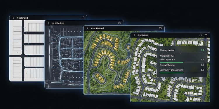
Interactive maps and data visualizations were created to make complex geographic information easier to understand and use. The resulting GIS tools allow users to quickly identify patterns, analyze geographic relationships, and make more informed decisions regarding infrastructure investment and community planning.
The completed GIS system provided the planning commission with a centralized, user-friendly resource for analyzing regional data and communicating findings to municipal officials, stakeholders, and the public.
The project improved access to geographic information, streamlined spatial analysis, and established a scalable framework that can be updated as new data becomes available.
Copyright: Christina McCullough GIS Sweetspot | Website by RO Communication